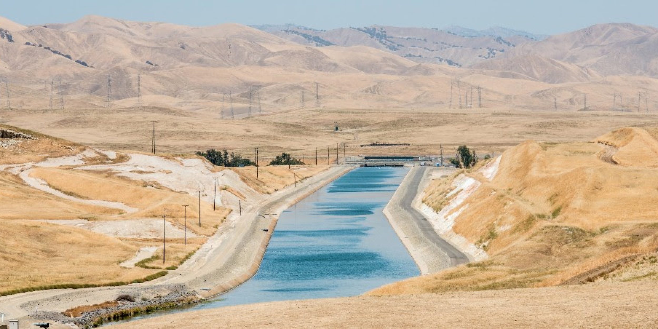

The NOAA CPO Modeling, Analysis, Prediction, and Projections (MAPP) program hosted a webinar on the topic of California Drought: ENSO Implications and Operational Outlook on Monday, September 28, 2015. The announcement is provided below; you are invited to remotely join the session.
| Date/Time | Title |
| September 28, 2015 1:00 PM – 2:00 PM ET |
California Drought: ENSO Implications and Operational Outlook |
| Speakers and Topics: | Jon Gottschalck (NOAA Climate Prediction Center) Latest CPC ENSO, seasonal precipitation and drought outlooks Richard Seager (LDEO, Columbia University) Andrew Hoell (NOAA Earth System Research Laboratory) |
| Remote Access: | To view the slideshow: 1. Click the link below or copy and paste the link to a browser: https://cpomapp.webex.com/cpomapp/lsr.php?RCID=a9052bb85c76aa588a1cb57f689e9b5d 2. Enter your name and e-mail address, and click “Join Now”. If necessary, enter the event passcode: 20910 To hear the audio: Utilize the on-screen dial-in instructions visible after logging into webex Webex and the teleconference line can accommodate only 100 attendees on a first-come, first-served basis. Please try to share a connection with colleagues at your institution to preserve space for others. |
| Watch Webcast: |
(Right click and Save Link As) .wmv |
ABSTRACTS:
Jon Gottschalck – The most recently released outlooks from the Climate Prediction Center will be reviewed. The talk will first review the current status of the ongoing El Niño event and then show the latest official ENSO forecast for the next several months. How anticipated El Niño conditions are represented in the latest CPC official seasonal precipitation and drought outlooks is then illustrated along with some additional relevant forecast tools that influence the outlooks.
Richard Seager – The causes of the circulation and precipitation anomalies that have led to four consecutive winters of low California precipitation and serious drought will be briefly reviewed.The implications of forecast El Niño conditions for winter 2015/16 will then be presented. The relationship between precipitation and tropical Pacific SST anomalies is quite nonlinear for both northern and southern California and for the first (Nov-Jan) and second (Feb-Apr) halves of the winter half year. The observational record suggests that only strong El Niño events produce high probabilities of wet conditions in California. In the first half of winter strong El Niños favor higher than normal precipitation only in southern California while the influence extends to all of California in the second half of winter. Hence to seriously alleviate the drought the current El Niño needs to maintain strength throughout the winter. During El Niño evolution, the strengthening from early to late winter of the link between tropical Pacific SST and California precipitation arises because the teleconnected North Pacific low anomaly deepens even as the tropical Pacific SST anomalies weaken. This teleconnection evolution is reproduced by SST-forced models. Why it happens is not known but makes clear that the sub seasonal to seasonal (S2S) evolution of tropical Pacific teleconnections needs further study. The September 2015 initialized forecasts indicate a very strong El Niño lasting through the winter with, importantly for California, the dynamical model average forecasting record NINO3.4 anomalies for FMA. The implications for drought alleviation will be discussed.
Andrew Hoell – The sensitivity of California precipitation to El Niño intensity is investigated, focusing especially on whether wet conditions during 1983 and 1998 are reliable indicators for extreme El Niño impacts. A multi-model ensemble of historical climate simulations is examined to determine wet and dry probabilities as a function of El Niño strength. Moderate El Niño events fail to appreciably alter wet or dry risks across northern and central California, though odds for wet conditions increase across southern California. Major increases in wet probabilities occur during very strong El Niño events across the entire state. In California’s main northern watershed regions, simulations indicate a 95% chance of greater than normal precipitation, and a 50% probability of at least 150% of normal. Results indicate predictions of El Niño strength to be highly relevant for California precipitation forecasting, and that a situational awareness of El Niño strength is important for water resource planning.


