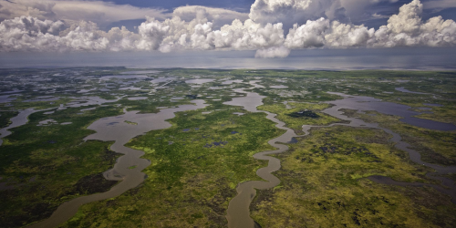
Drought affects coastal areas in unique ways through changes in salinity levels. The location of the freshwater-saltwater interface in surface waters along the coast can be highly variable, moving further inland or seaward depending on the amount of freshwater flowing downstream. This variation can affect ecological, municipal, and industrial uses, yet traditional drought surveys do not accurately predict salinity levels in these areas.
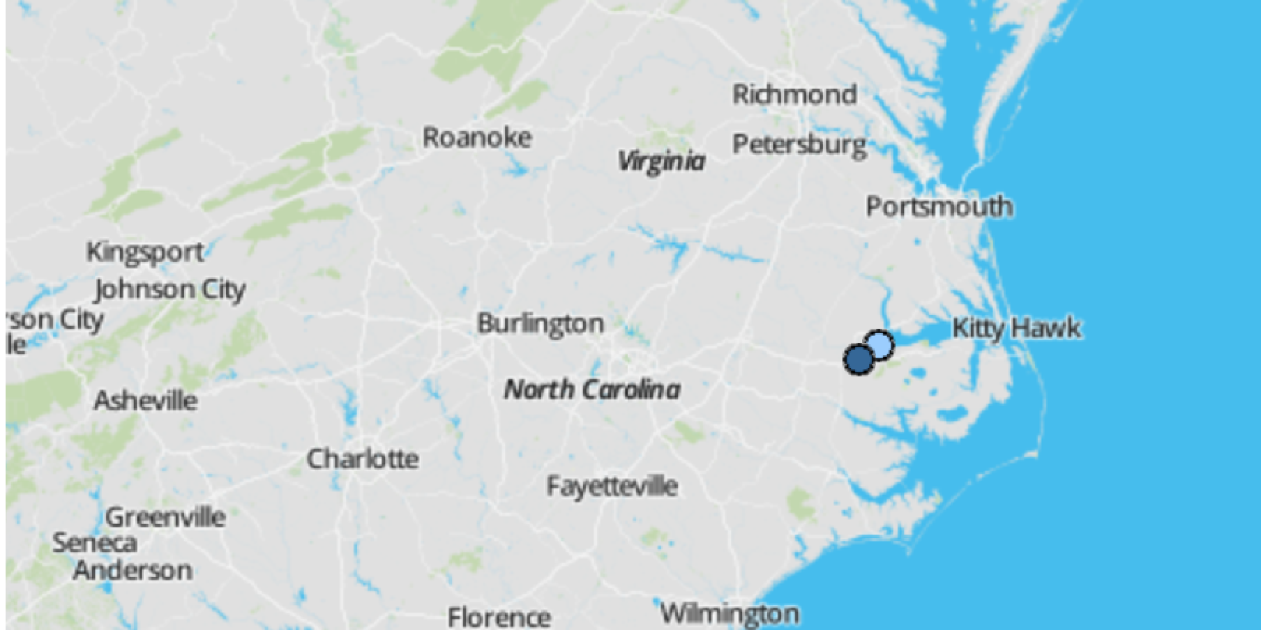
The Coastal Salinity Index (CSI) was developed to monitor surface water conditions in these unique conditions. The CSI website, launched in September, displays real-time salinity levels at seventeen USGS recording stations located in areas of varying degrees of freshwater-saltwater mixing along the coasts of North Carolina, South Carolina, and Georgia.
The CSI website and other resources were developed by the US Geological Survey (USGS) and CISA (Carolinas Integrated Sciences & Assessments, a NOAA RISA team), through funding from the National Integrated Drought Information System (NIDIS), USGS, and the NOAA Climate Program Office.
Watch for a webinar later this year in which developers will demonstrate the range of new resources.
Visit the Coastal Salinity Index website »
Access CSI resources, including R-package, data, and User Guide »


