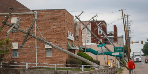

Photo by Brian Kahn.
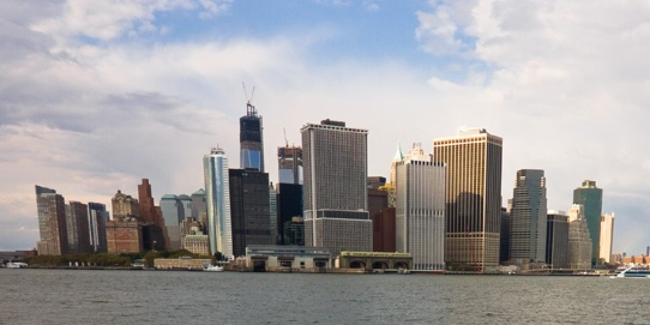
NOAA, in partnership with FEMA and the U.S. Army Corps of Engineers, has created a set of map services to help communities, residents, and other stakeholders consider risks from future sea level rise in planning for reconstruction following Hurricane Sandy.
These map services (click here for NJ and NY State counties and click here for NYC) show the horizontal expansion of the floodplain associated with a future increase in sea level in 2050 and 2100 (2050 only for NYC), highlighting areas that will be at risk in the future. They integrate the best available FEMA flood hazard data for each location with information on future sea level rise from peer-reviewed sources.
The Regional Integrated Sciences and Assessments (RISA) program and the Consortium for Climate Risk in the Urban Northeast (CCRUN) RISA team in New York City played major roles in the development of the two reports that informed these mapping tools:
-
A NOAA-led interagency report prepared as input to the National Climate Assessment, Global Sea Level Rise Scenarios for the United States National Climate Assessment. Scientists from multiple federal agencies and academic institutions synthesized the best available science to create a set of scenarios of global mean sea level rise through 2100. This team considered both ocean warming and melting of mountain glaciers and ice sheets. For all areas in NJ and NY outside the five boroughs, the maps use these global scenarios combined with the best available FEMA flood hazard data.
NOAA CPO scientist and RISA Program Manager, Adam Parris, was the lead author on this report. The report also included input from many Federal agencies (US Army Corps of Engineers, the US Geological Survey and the Department of Defense) and academic experts (including Dr. Radley Horton, Columbia University and CCRUN).
- The 2013 New York City Panel on Climate Change report, Climate Risk Information 2013: Observations, Climate Change Projections, and Maps. Experts convened by Mayor Michael Bloomberg’s Office of Long Term Planning and Sustainability developed regional sea level rise scenarios for the five boroughs in New York City out to the 2050s. These scenarios include six sea level change components, and factor in local conditions such as vertical land movement. For all areas inside the five boroughs of NYC, the maps use these scenarios combined with the best available FEMA flood hazard data.
The report includes significant contributions by several CCRUN scientists including CCRUN and NPCC Co-Lead Cynthia Rosenzweig (NASA Goddard Institute for Space Studies and Columbia University’s Center for Climate Systems Research), Radley Horton, Patrick Kinney, Yochanan Kushnir, and Daniel Bader (all from Columbia University), and Alan Blumberg and Philip Orton (both from the Stevens Institute of Technology).
Post-Sandy recovery provides an opportunity to reduce vulnerability and increase resilience further into the future by incorporating sea level rise information into decisions about how and where to rebuild, or whether or not to start new development.
More information about sea level rise and flooding tools, along with answers frequently asked questions, is available on the United States Global Change Research website.


