

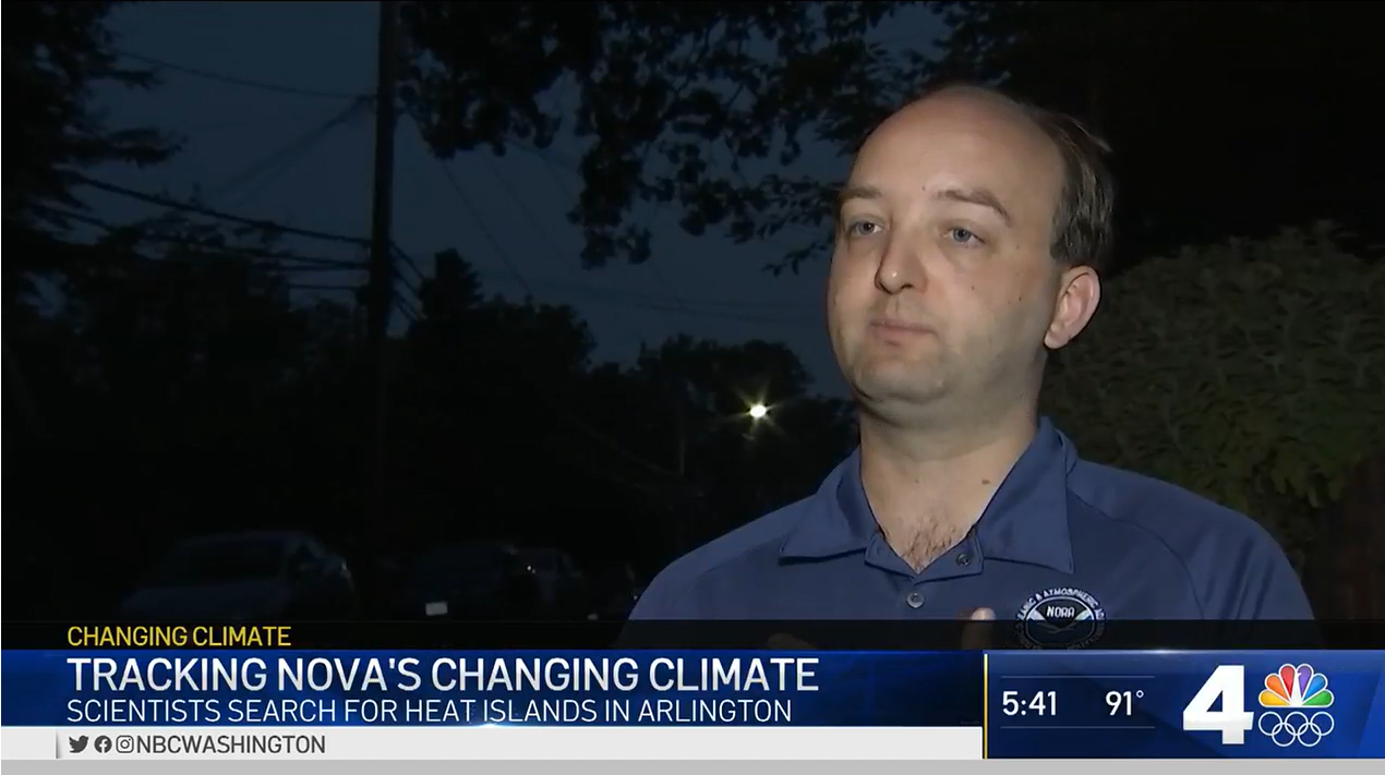
On Thursday, July 15, the CPO Communication, Education, and Engagement (CEE) Division’s John Coggin volunteered for the community-led urban heat island mapping campaign in Arlington County, Virginia. Before the campaign kicked off at 6 am, Coggin spoke to DC-area TV station NBC4 about the importance of urban heat mapping.
Arlington County’s campaign was part of a larger, community-led campaign organized by the Virginia Foundation for Independent Colleges (VFIC). On July 15, Marymount University joined 11 other higher education institutions within the VFIC, along with Virginia State University, to record air temperatures and humidity in communities throughout the Commonwealth of Virginia.
To learn where action is needed to protect vulnerable populations now and in the future, NOAA’s National Integrated Heat Health Information System (NIHHIS) and partners launched new community-led campaigns that are mapping the hottest parts of cities in 11 states across the country this summer. The communities include Albuquerque, New Mexico; Atlanta; New York City; Charleston, South Carolina; Kansas City, Missouri; Raleigh & Durham, North Carolina; San Diego; San Francisco; and parts of New Jersey, Indiana, Massachusetts, and Virginia.


")


